

Waves and wind memories from the Atlantic ocean.
- by Joanie Lemercier
- in blog homepage
- posted April 20, 2026
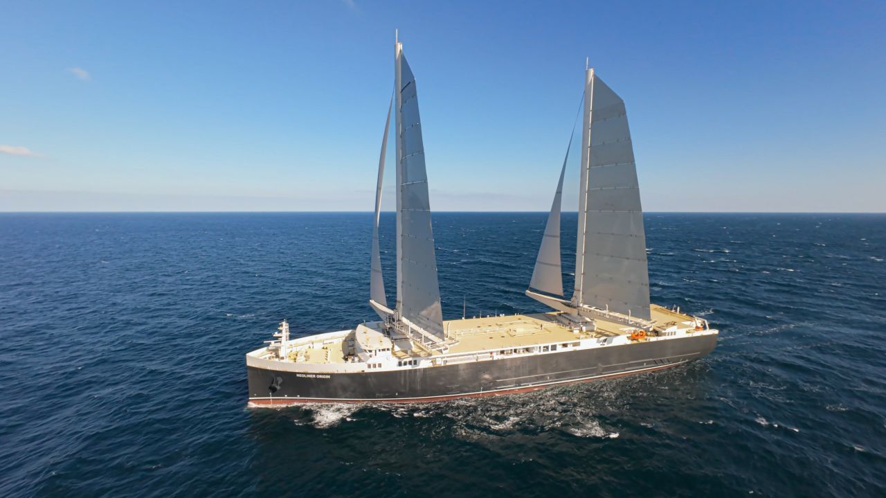
March 17th 2026.
44°23’24.12″N 34°10’21.70″W
We’re in the middle of the Atlantic ocean on a large cargo sail boat.
Here’s a selection of waves and ocean patterns we’re collecting during the journey.


Some of these memories were turned into plotter drawings, using our plotter drawing machine on board to lay white ink onto black paper, and waves were geo localized with GPS coordinates. The works were exhibited at Heft gallery in NYC on April 15 and 16th during a 48h popup show. The artworks are available via HEFT.


Wind fields: memories of the wind.
The wind predictions from satellite imaging were informing the path of the ship. Every morning the captain would study various models to decide and adjust our path and trajectories. The data was crucial to our journey, and to our safety. This series of generative drawings takes direct inspiration from the wind data. It also draws from the density and force of ocean and wind currents.


All the artworks are available at Heft gallery, NYC.
Recent Comments